GPS Map Camera is built for people who must show where work happened. Many jobs depend on clear field records. A normal photo often creates questions. A stamped photo answers them instantly.
Field Engineers and Technicians
Field engineers visit multiple locations daily. They must confirm inspections and maintenance tasks. Manual reporting takes extra time after work. The app records the visit during capture. The photo already shows the location and time. Reporting becomes simple and fast.
Construction and Site Supervisors
Construction teams track progress every day. Managers need proof of completed stages. Verbal updates are often not trusted. Stamped photos provide visible confirmation. Teams can share updates without long explanations. Project records stay organized.
Surveyors and Inspectors
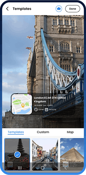
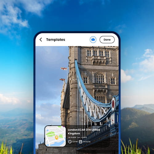
Survey work requires accurate visit evidence. Inspection records must remain clear and consistent. Missing details can create disputes later. The app embeds place and moment directly on the image. Anyone reviewing the report understands instantly. Verification becomes easier.
Real Estate Professionals
Property agents visit many sites weekly. They must record visits and conditions. Photos without location create confusion later. Location stamped images keep records reliable. Agents can show clients exact visit details. Property history stays documented.
Service and Delivery Workers
Service workers confirm completed tasks. Delivery staff confirm drop locations. Customers often request proof. The photo itself becomes confirmation. No additional explanation is needed. This saves time during daily operations.
Freelancers and Remote Teams
Remote work depends on trust. Clients want confirmation of on site activity. Messages alone may not be enough. Stamped photos provide transparent communication. Work updates become clear and professional. Collaboration improves.
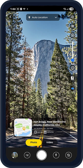
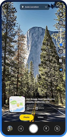
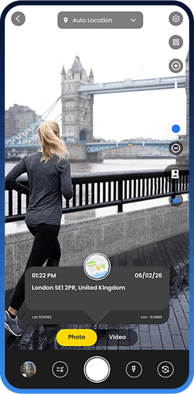
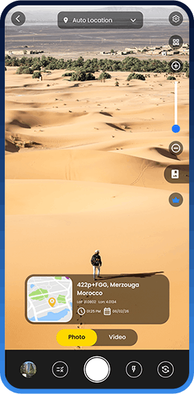
Travelers and Explorers
Travelers capture many memories. After time passes locations are forgotten. Gallery apps rarely show place clearly. GPS Map Camera keeps location visible on every photo. Trips remain connected to real places. Memories stay meaningful.
Government Employees and Field Officers
Government staff often conduct field visits and public work verification. Many departments require location based photo records. Manual documentation takes time and can cause reporting delays. Officers can submit reports faster. Supervisors can review work without repeated site checks. The process becomes more accountable.
Agriculture and Farm Monitoring
Farmers and agriculture officers monitor crops across large areas. They often need seasonal records and condition proof. Written notes alone are difficult to verify later. GPS Map Camera records the exact field location during capture. The photo shows time and place together. This helps track crop growth and field activities.
Records stay useful for insurance and reporting. Farmers can compare changes across seasons easily. Documentation becomes reliable and simple.